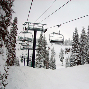
Forecast for January 5-6, 2013 courtesy of Sugar Bowl
Light Accumulations Saturday Night/Sunday…
An approaching system on Saturday will increase clouds over Northern California. Although the system will be splitting and weakening as it moves inland, the models are holding it together a little bit better. Moderate rain is expected in coastal areas while light snow accumulations will reach the Northern Sierra. No snowfall is expected during the daylight hours on Saturday with the first chances occurring Saturday night. An inch or two of accumulations are possible by sunrise Sunday. Saturday morning lows in the 20s, highs in the 30s. Southwest winds will be stepping up to mix out the inversions, up to 30 mph in the afternoon.
Sunday morning snow chances followed by snow showers during the day. An additional 1-2 inches are possible after sunrise with total accumulations in the 2-4 inch range. Morning temperatures in the low to mid 20s, only rising into the mid to upper 20s during the day. Southwest winds to 20 mph with higher gusts, to 40 mph on the ridges with higher gusts.
Clouds decrease overnight with sunnier conditions on Monday as a high pressure ridge rebounds.