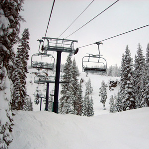
Courtesy of Sugar Bowl
Updated 9:30 a.m. on Dec. 27
Skies are clearing this morning as a high pressure ridge quickly approaches. Partly to mostly sunny today with highs in the upper teens to mid 20s. Easterly winds to 20 mph.
The high pressure ridge will quickly move east on Friday as a cutoff area of low pressure develops off the Northern California coast. Not much moisture is associated with the system and most precipitation will hold near the coast. Increasing clouds with snow shower chances after dark. Overnight accumulations will range from 0-2 inches depending on how much moisture tracks inland. Lows in the teens, highs in the 20s. Morning easterly winds to 20 mph.
Snow shower chances on Saturday as the area of offshore low pressure moves south. Little or no accumulations are expected. Lows in the teens, highs in the 20s. Winds becoming more southerly and remaining light.
A high pressure ridge returns on Sunday to bring clearing conditions. Lows in the teens, highs in the 20s. Afternoon easterly winds to 30 mph.
Mostly sunny on Monday. Lows in the teens, highs in the 20s to near 30. Morning easterly winds to 30 mph.
Mostly sunny on New Year’s Day. Lows in the teens to low 20s, highs in the 20s to around 30. Morning easterly winds to 30 mph.
Clouds increasing on Wednesday as a new system approaches. Snow chances in the afternoon or overnight, or holding off until Thursday. At this time, accumulations are expected in the light to moderate range.