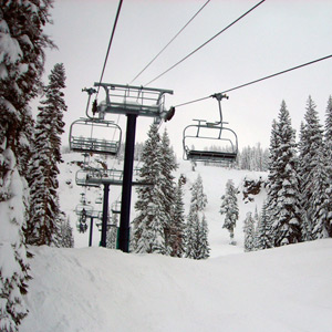
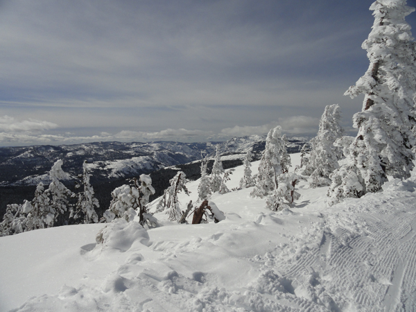
Spring skiing doesn’t get much better that this. The snow gods have blessed us with 24-48″of fresh snow this week, with more on the way. Don’t put those chains away yet.
Weekend forecast courtesy of Sugar Bowl:
 Saturday: 2+ feet of accumulations to greet the morning. Morning snow showers, then tapering off later in the day. Accumulations during the day in the 1-3 inch range. Lows in the teens, highs in the upper teens to mid 20s. Morning west to southwest winds to 15 mph, to 40 mph on the ridges, decreasing later in the day.
Sunday: Snow beginning during the day with light to moderate accumulations by sunset. Lows in the teens, highs in the 20s. Southwest winds to 15 mph, to 50 mph on the ridges, strongest in the afternoon.
Weekend Travel Weather:
Prepare for a snowy Friday. Snow winds down early Saturday morning to improve conditions, but expect old 40 to be completely snow covered. Saturday afternoon and Sunday morning should have the best road conditions of the weekend. Sunday afternoon’s conditions are likely to worsen.
Extended:
Snow decreasing on Monday with drier conditions Tuesday & Wednesday.
Another system is scheduled later Wednesday or Thursday.